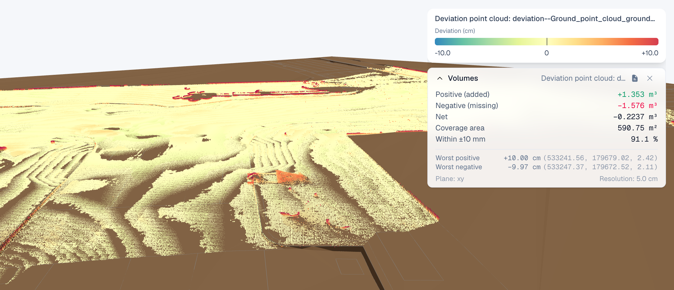
New Features and Improvements for Road and Railway Projects
SkyGIS Pro just received its biggest targeted feature expansion to date! Built from the ground up for road and railway construction, this update equips both surveyors and designers with powerful new tools—plus a round of quality-of-life polish to keep your projects running seamlessly. Let's dive in.
Road and Railway monitoring toolkit
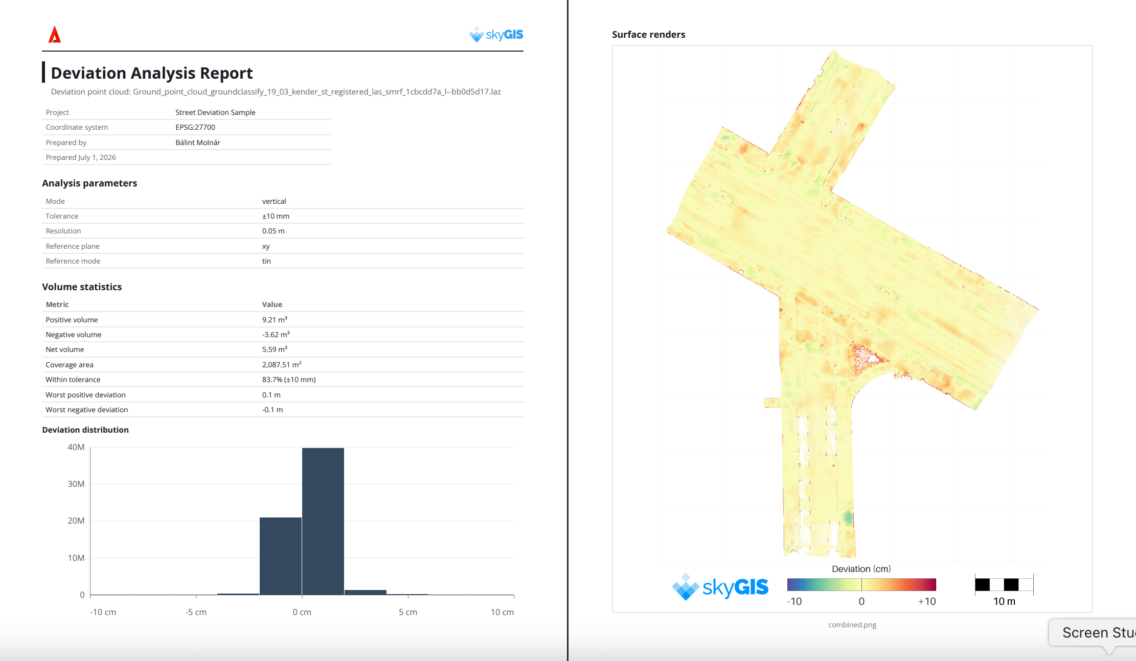
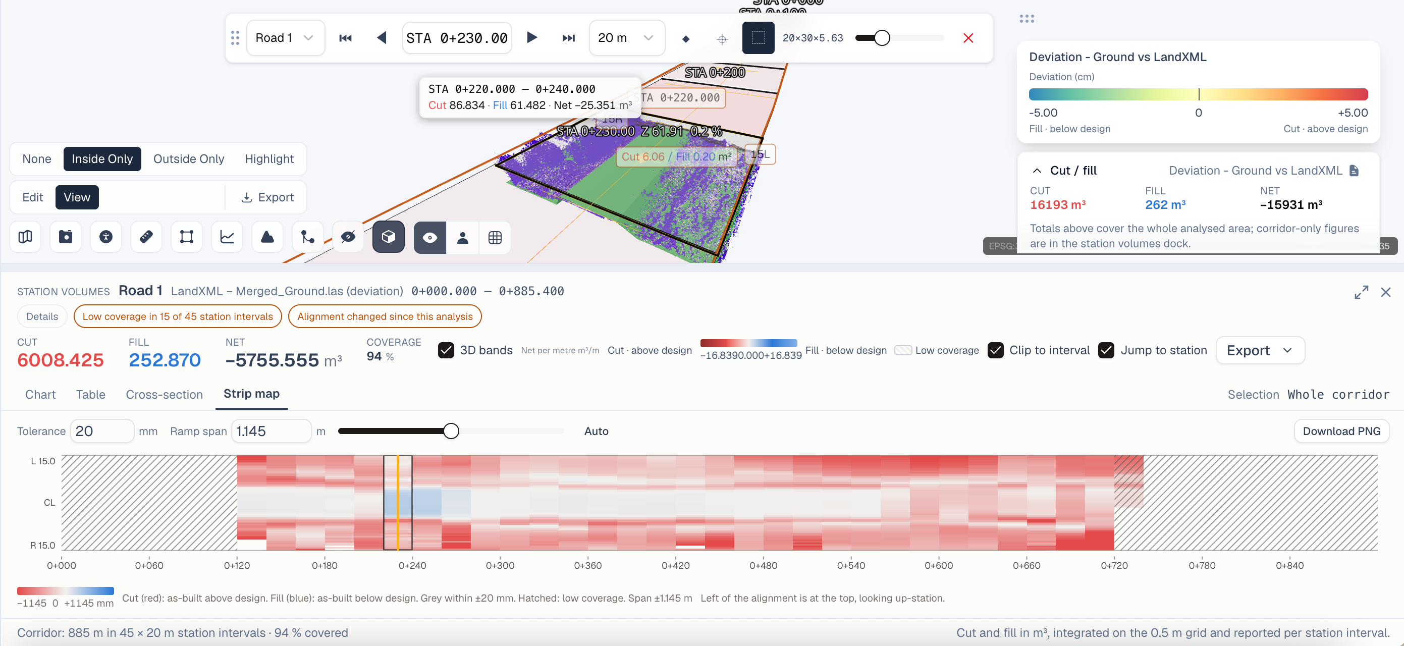
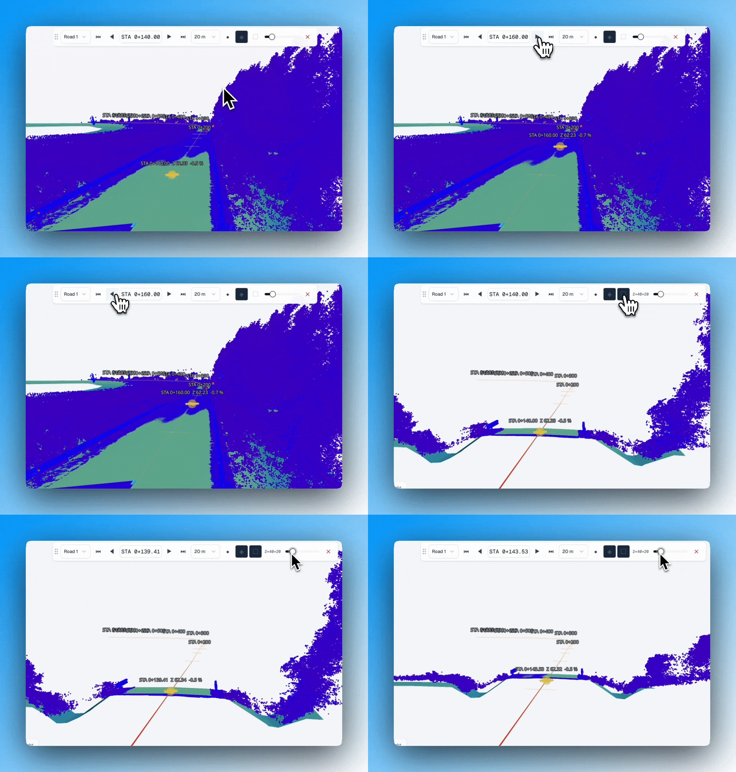
Designed to streamline site monitoring, this feature package empowers construction teams to track progress against design using point clouds, IFC models, and LandXML files. Building on our established deviation analysis capabilities, SkyGIS Pro now offers complete alignment flexibility—automatically recognizing LandXML alignments, converting existing layers or lines, or letting you extract custom polylines. Using these alignments as a baseline, you can run surface difference calculations across IFC, LandXML, TIN, or point cloud data to compute cut-and-fill volumes at custom stationing increments.
Explore alignments effortlessly with the all-new browser bar, giving you complete control to filter and isolate critical site data.
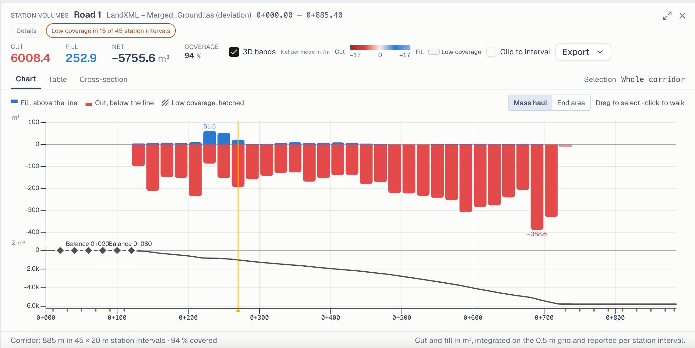
Once a surface difference calculation is run, SkyGIS Pro provides versatile visualization tools—including column charts, tabular views, and cross-section displays—to streamline monitoring and mapping workflows. Export insights seamlessly via PDF reports, detailed DXF drawings, or raw CSV files for downstream analysis. You can also generate derived point clouds, orthoimages, and 3D models to ensure complete material tracking throughout the construction lifecycle.
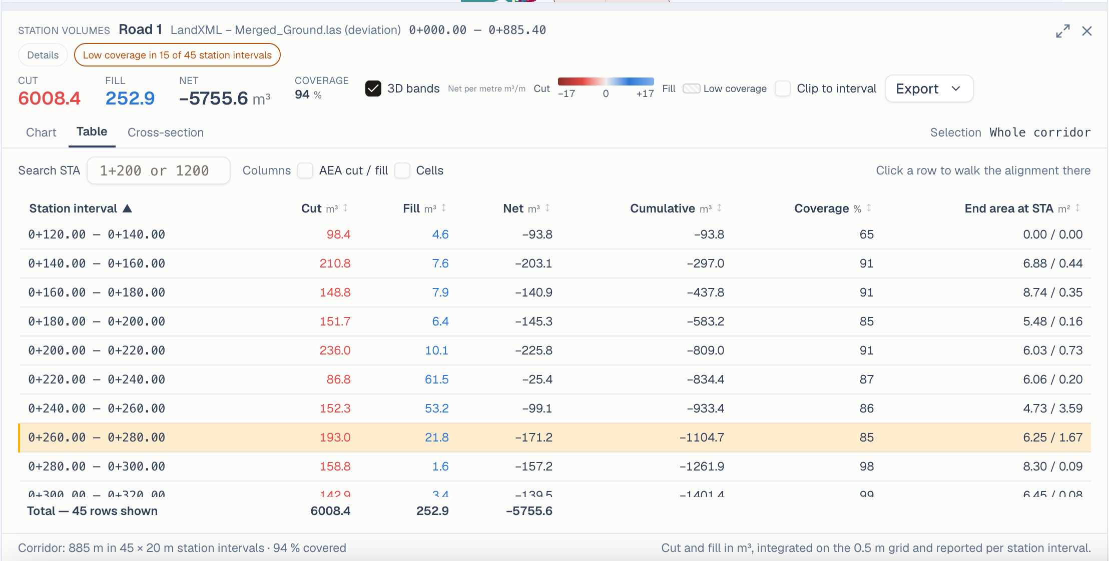
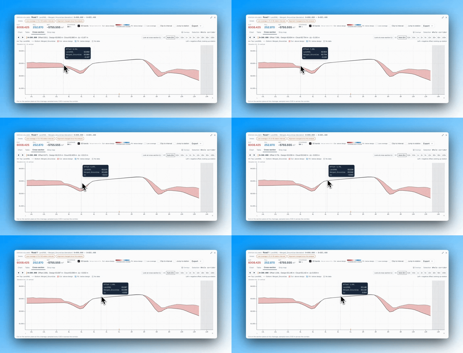
We are continuously refining these capabilities to bring intuitive, cost-effective site monitoring tools to an even broader range of users.
IFC - LandXML export
IFC and LandXML serve different scenarios. While surveyors primarily use LandXML for linear construction, architects and designers rely more on IFC. Converting between these two formats is not always straightforward—and sometimes not possible—because LandXML cannot handle vertical surfaces.
To bridge this, we have introduced an experimental feature that extracts surfaces directly from IFCs for surface difference calculations. While results depend on the quality of the source IFC file, this option offers a major time-saving shortcut for standard site models.
Generate difference mesh from LandXML files
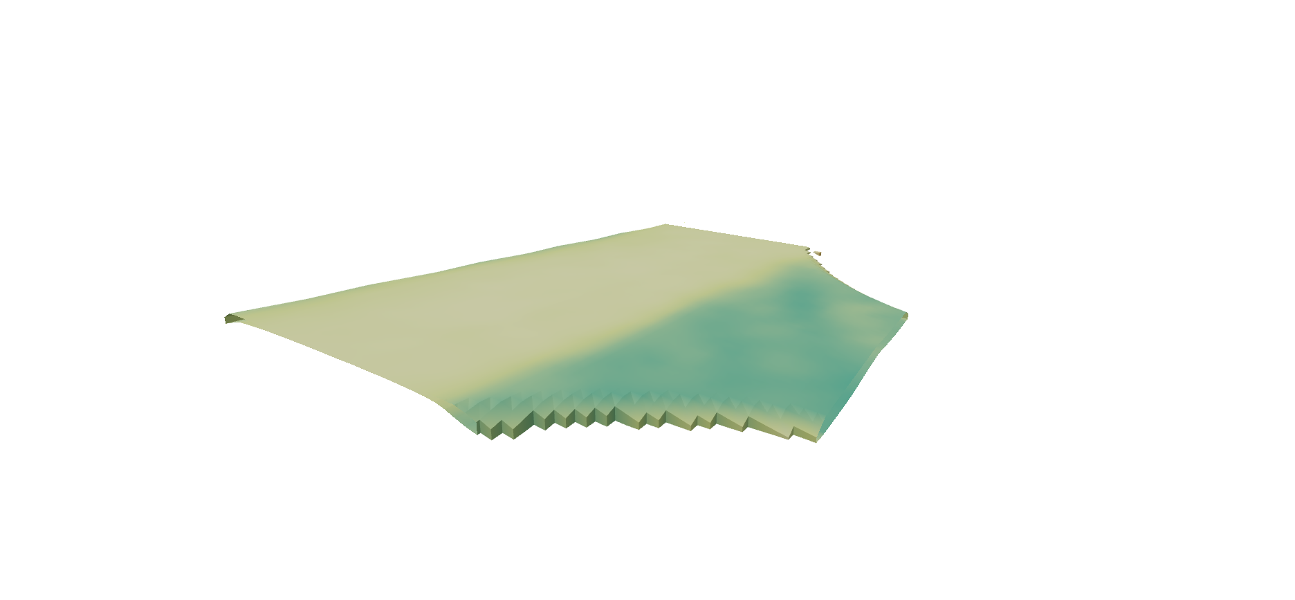
In some scenarios, calculating total volume isn't enough to evaluate the full scope of surface changes—you need a detailed visual model. We’ve introduced a LandXML-to-LandXML difference mesh (or 3D body) generator that creates a color-coded 3D model mapping the exact elevation deltas between surfaces.
Mosaic51 camera support
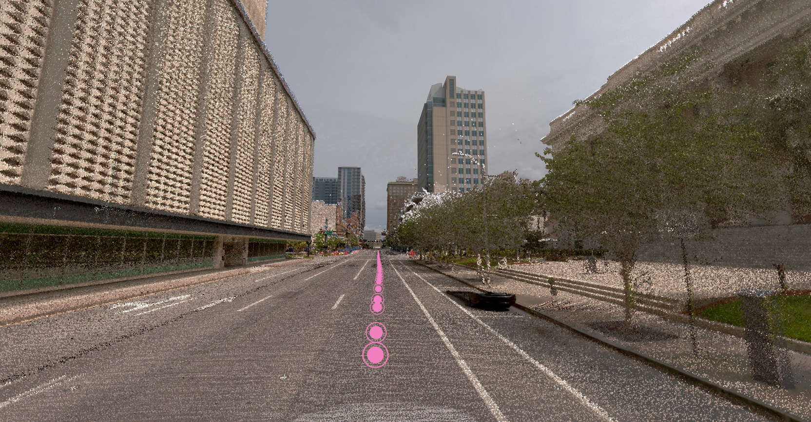
Our system now supports Mosaic51 camera formats. Mosaic51 is a premier developer of camera-centric mobile mapping solutions, and this update enables users to effortlessly process point clouds and high-quality images generated by the Mosaic Meridian and associated scanners.
Improvements and fixes
The following things has been improved or fixed based on user feedbacks:
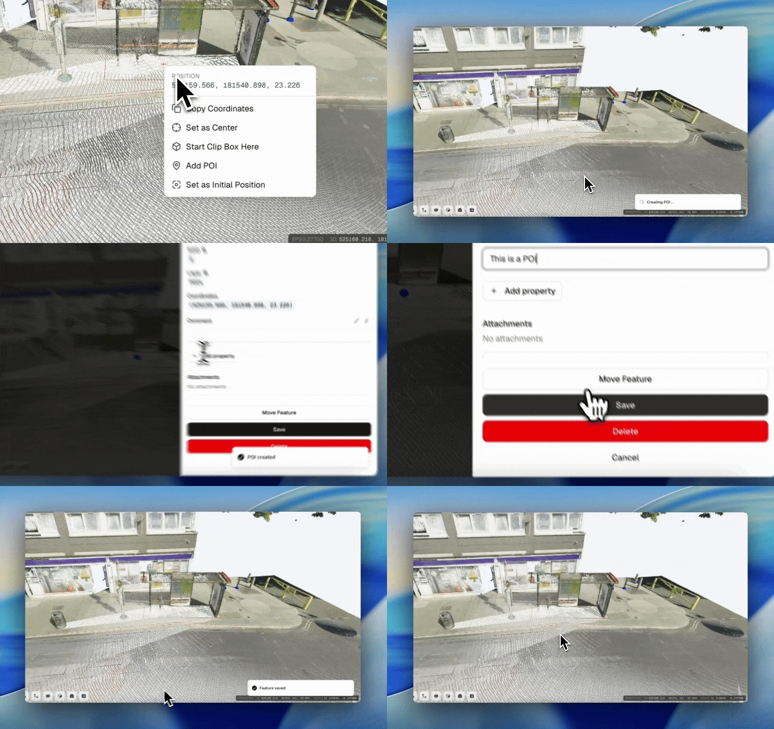
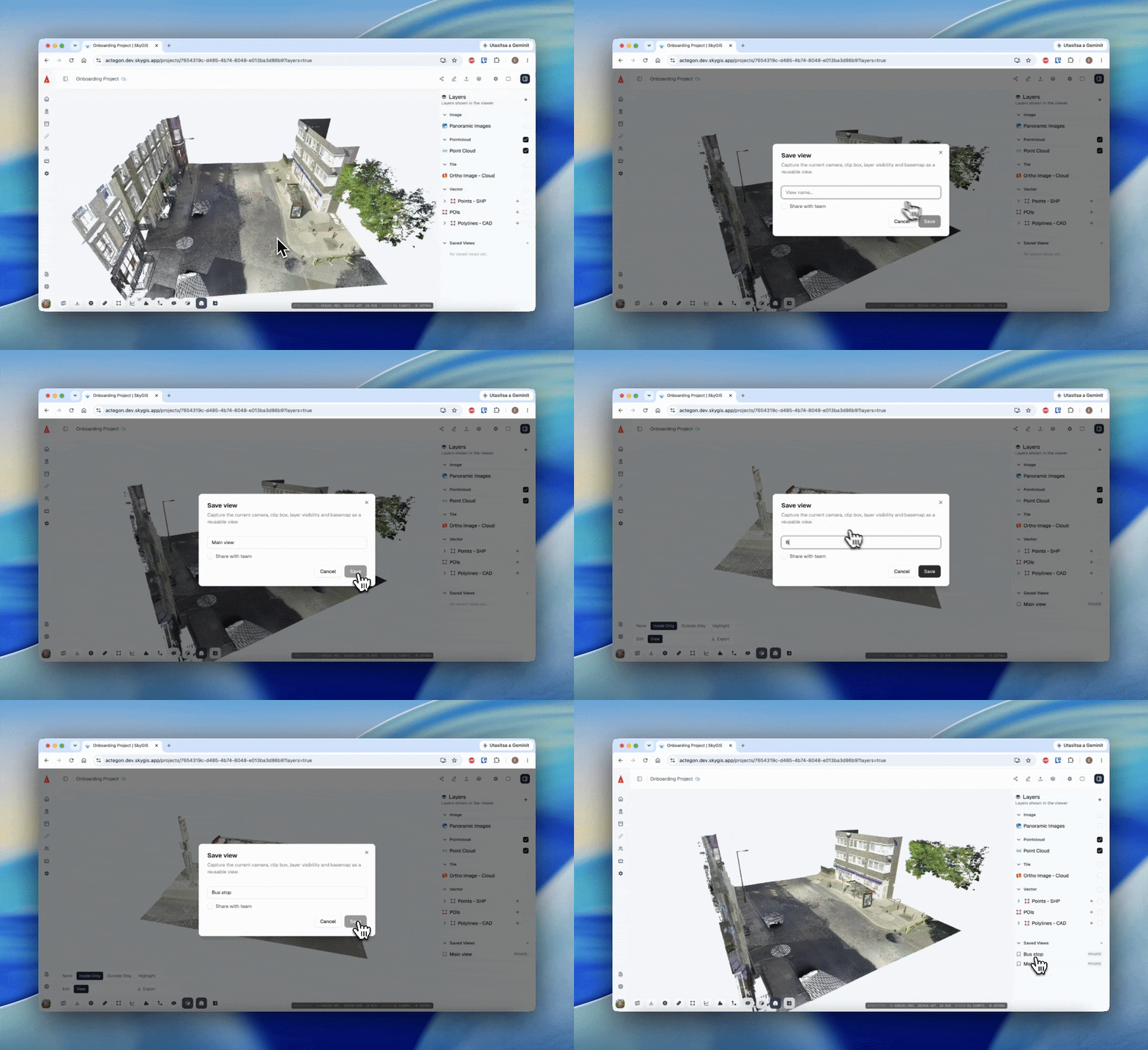
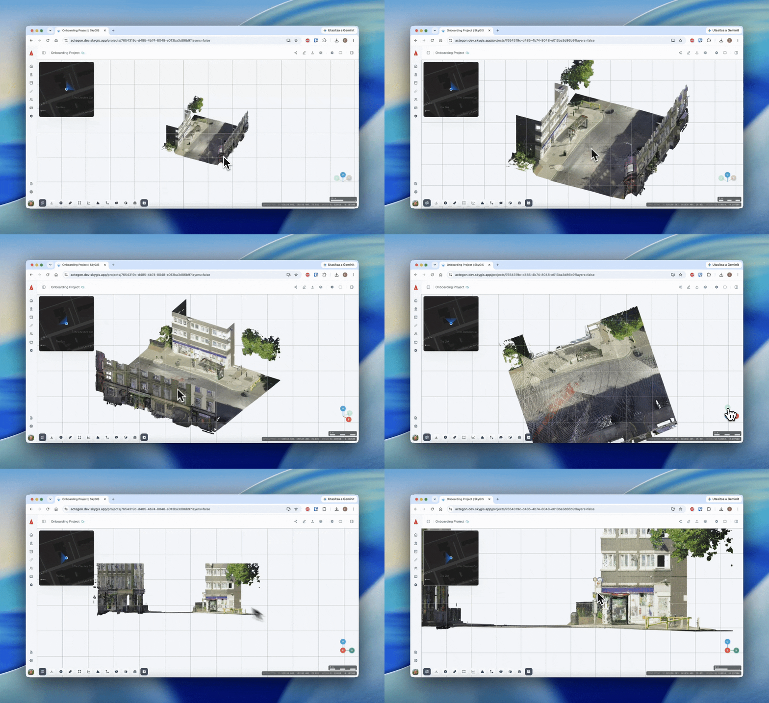
New user organisations now have a Demo Project that features various data types
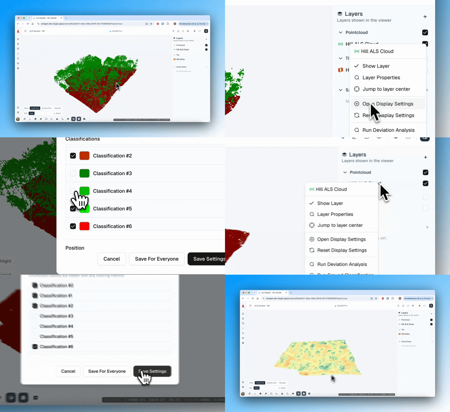
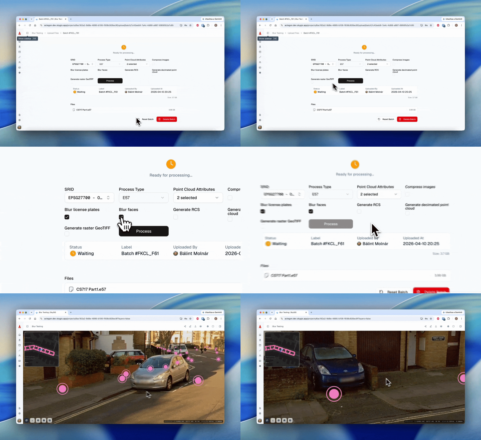
We have enhanced the processing display to provide further information during and after the processing tasks
Icon refubishment has been performed in the toolbars, view type setting now has a 3-way switch
Jump to center option become available for even more data types
Now you can change the rotation center using double-left click in the viewer
That’s all for now, but stay tuned for future updates!